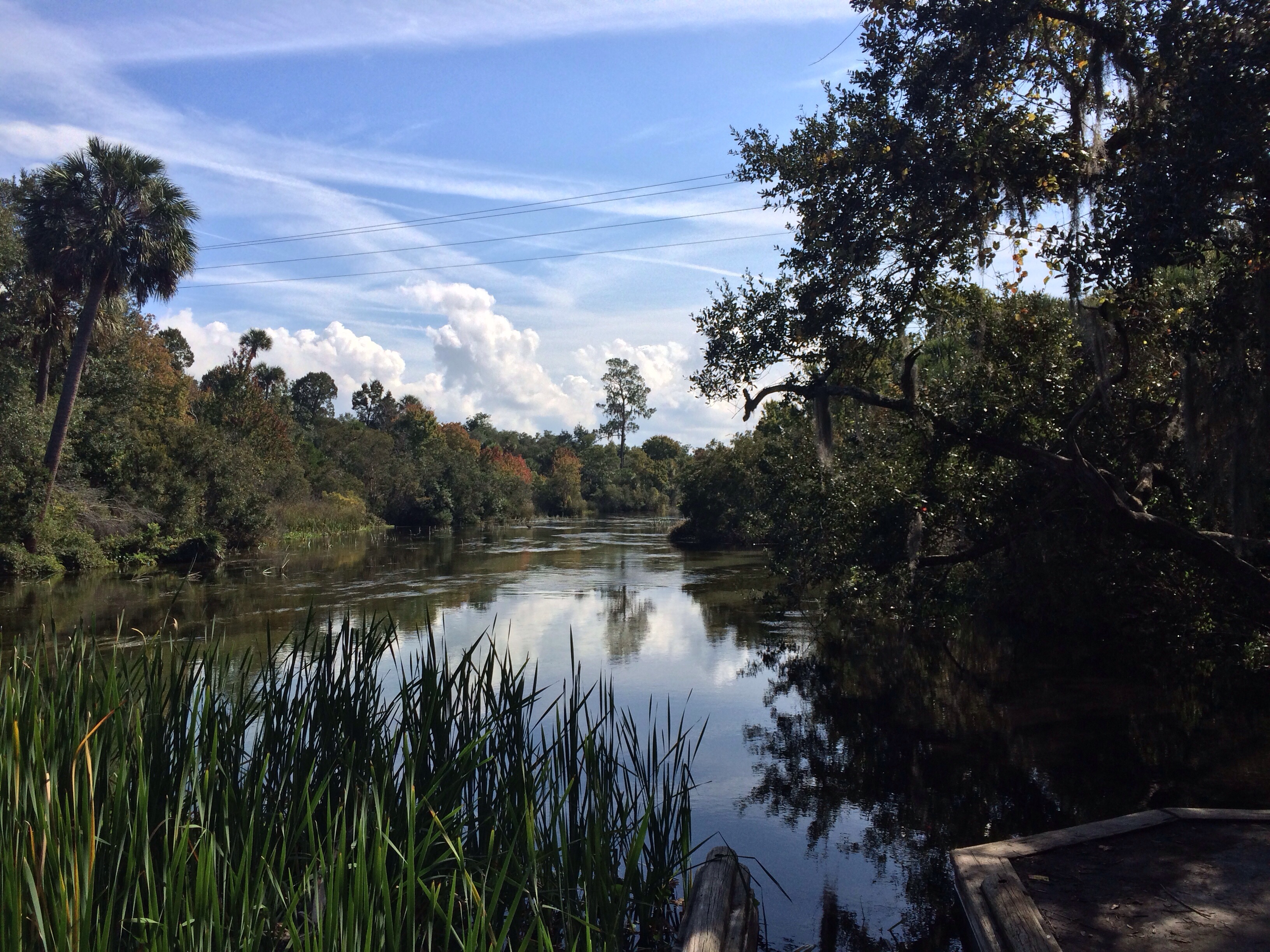

Closing out a day on a road trip for Veteran’s Day, I was curious about a sign for Juniper Creek Canoe Run. On the way back from Salt Springs on SR 19, I had looked for an excuse to pull over for the restroom. The brown signage on the left side of the road for the creek was that excuse. What was the connecton to Juniper Springs Recreation area? I had remembered Juniper Run at the recreation area. From that visit, the Run was unimpressive for a possible canoe excursion. That portion of the waterway within Juniper Springs Recreation area had become shallow and unmanageable. This canoe launch area had shown a much wider and deeper view of the creek, worthy of a second look. The view was postcard perfect with glistening water, powder blue skies and the ever present chirping of birds. From reading around the web, Juniper Creek Canoe Run had provided trips of a few hours plus, a possibility of shuttle ride back to the launching area. With the colder weather heading for Central Florida, I had pondered the possibility of canoeing through this portion of the Ocala National Forest again.
Located at Latitude : 29.183745 Longitude : -81.688533, just off Florida State Road 19.
Read More:
Juniper Run (US Forest Service)
Juniper Springs, Ocala National Forest, FL (GarzaFX)
Salt Springs Recreation Area in the Ocala National Forest @ Salt Springs, Florida (GarzaFX)